Well, almost. This picture was actually taken at the false summit of Triangle Peak. The actual summit was about 100 feet higher and 250 yards further south. Upon learning this from the eccentric 50-something-year-old Fairbanksian who had showed a bunch of 20-somethings where the bear went through the buckwheat on the ascent, I informed the leader of the trip through the blustery snow and wind. He scrambled to get his gear together and we went trudging after the group who had already started moving along the snowy and windblown ridge towards the summit.
But before the summit, we had to leave the road, go skiing, set up base camp, sleep, and ascend the ridge. This past weekend I had the opportunity to go with about 15 people on a trip sponsored by the Alaska Alpine Club to attempt to climb Triangle Peak (marked with an 'A'). We camped almost directly north of the peak where the M'Ladies Branch, the larger arm of the glacier extending south, meets up with the rest of the Castner Glacier. We climbed up the north ridge of the peak, somewhere around 3,000 vertical feet from our camp to the summit.
View Larger Map
The first day was spectacular with blue skies and a few wisps of clouds. We skinned up the glacier without much trouble. There were two large medial moraines we had the choice to follow, the southern moraine providing the best approach. We started on the northern moraine. Joey is the small figure on the southern moraine in the picture below. He had been on the route a few times before and was leading the group up to camp.
After slogging along on the bumpy northern moraine, we realized the need to crossover to the other moraine and found a suitable place to cross an ice bridge to the smooth sailing route to the south.
The moraines provide a nice route up the glacier as there is less melting and fewer crevasses to deal with. The picture below is a good representation of what sits between the medial moraines on the body of the glacier.
Moving along with heavy packs.
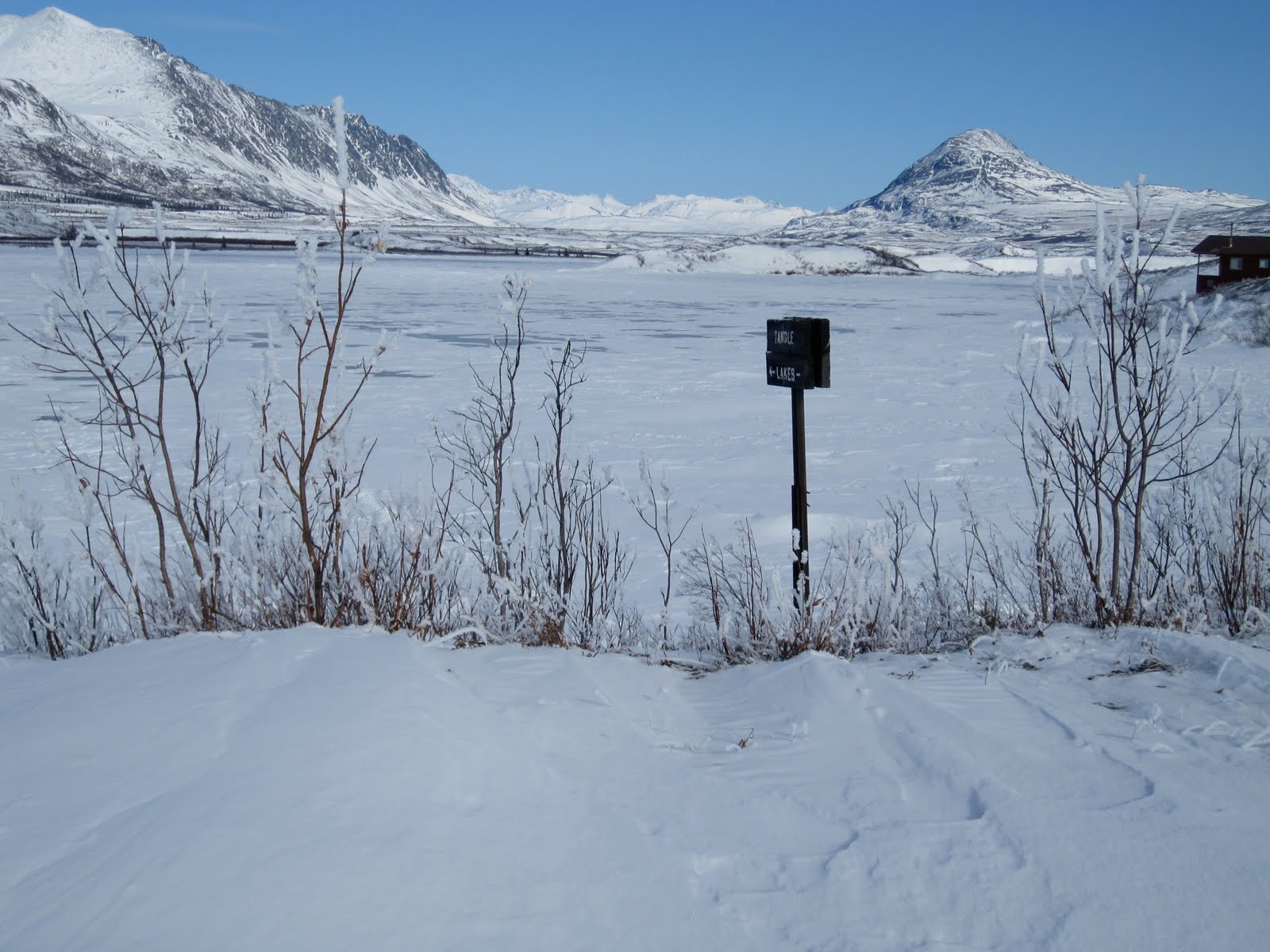
The view back down the glacier towards the Delta River and the Richardson Highway.
Rolling into camp. We set up tents towards the top of the bump to the right of the picture, just onto the M'Ladies Branch of the Castner, extending south from the main glacier.
Looking down-glacier from our camp.
Looking up the glacier from camp towards the O-Brian Icefall on the Upper Castner.
After sleeping soundly in a very warm double-walled winter tent, we hopped up, put crampons and survival gear in our packs, stepped in the skis, and started up the ridge.
The glacier has lost about 100 feet of elevation over the last 50 years. The most difficult section of climbing was ascending from the gully on the side of the glacier up onto the old lateral moraine. Too steep for skis and skins. Phil, the wise and experienced 50-something who expended the least amount of energy of anyone on the day, put crampons on and walked up. I tried skiing and ended up postholing while trying to carry my skis and poles. I quickly learned to try to do what Phil did or whatever Phil recommended.
Making it to the top of the lateral moraine.
The second challenging stretch of climbing. The slope of the ridge was gradual enough that skins and skis worked quite well. Phil walked the whole way, following a trail that was blazed by another group who climbed Triangle the week before. Phil usually figured out the most efficient and least taxing method for going from one place to the other. For a while, skis and walking were equivalent in terms of energy required.
Looking back towards the intersection between the M'Ladies Branch and the Castner Glacier.
The morning began bright and clear. It was beautiful climbing.
Looking west towards the Delta River and the rest of the Alaska Range.
Big place. Mount Shand, McGinnis Peak, and Mount Moffit from left to right.
"Look where we get to be!"
Clouds began to roll in from the south. The false summit is just barely visible over the nearest ridge.
Time to ditch the skis in a snowbank and strap on the crampons. Visibility began to decrease for the rest of the ascent. I am a bit more conservative than the guys I was with. I probably would have roped up for the rest of the climb, but we were never in terribly dangerous looking areas, just the regular dangerous looking places.
I stuck close to guys who knew what they were doing. There were three guys that I never really got further than shouting distance from. They had all climbed Triangle before. Nothing to it. The wind and snow began to pick up gradually. Never enough to cause fear, but enough to keep us all very cautious. Joey, pictured below, was able to snowboard all the way from the false summit back to the glacier. He is pretty good at snowboarding.
Made it to the false summit! The rest of the group is ascending the ridge and making a tricky step up a little rock ledge.
Here comes Phil! I learned on the way down that Phil has spent several summers in Walloon Lake, MI at a wood carving school of sorts. He loves northern Michigan.
Oh yeah. The actual summit is over there.
Wandering over to the real summit of Triangle Peak.
Phil reaching the summit. In addition to being a lot of fun to talk to, Phil also has interesting clothing and climbing gear. I am pretty sure he fabricated most of it himself.
"Top of the world Ma!"
"Woo!"
The wind was blowing pretty hard at this point. Not "I am going to be blown off the ridge and fall 1,000 feet" blowing but, quoting Phil, "Nature is telling us to descend" blowing. After singing a portion of "How Great Thou Art" that mentions looking down from lofty mountain grandeur and feeling the gentle breeze, I followed the rest of the crew back down the ridge.
We climbed back down with crampons still on, hauling skis all the way back to camp (the cluster of dots at the top of the picture). Instead of falling 100 times because I couldn't see any terrain changes because of the flat light, I fell once after catching a crampon in one of the straps in my pack. It was spectacular. Phil, of course, didn't bother to use skis and also didn't have an extra 8 pounds or so on his back during the descent.
The ski back out was awfully fun. No skins needed for all six miles down the southern medial moraine to Castner Creek and then to the road. I tagged along with Peter, the group leader, and Phil, picking his brain about route finding and kick wax.
As we waited for the rest of the group to come off the glacier, the skies cleared. Spectacular place, the Delta Range is.
Throughout the trip, I couldn't help but also recall a particularly humorous episode of a TV show that involved mountain climbing.